Home
+ 54 299 4331366


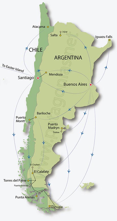
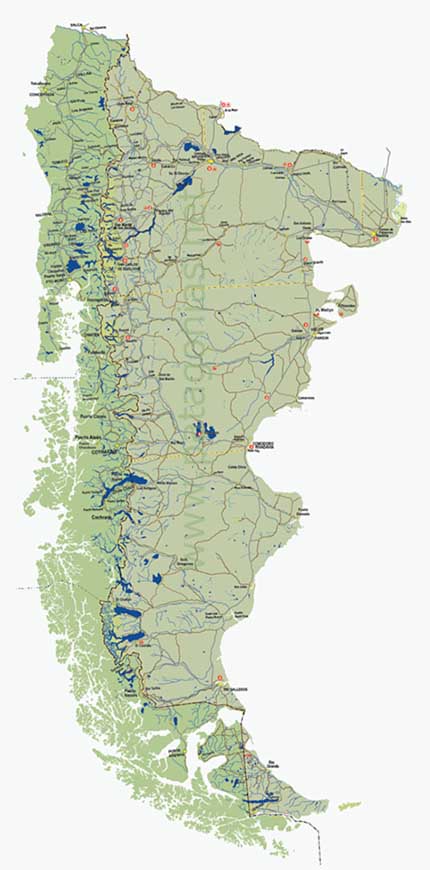
Map of Patagonia, Argentina and Chile
The map on the left shows the most common paths for regular flights within Argentina and Chile while the Patagonia Map on the right is intended to provide the visitors with a good image showing the region in both countries, finding details on the cities, roads, National Parks, rivers, lakes, country borders, provinces and regions limits, tourist icons.
To see a much larger image please click either the green buttons at the bottom or the maps.


